 Plant Distribution Map


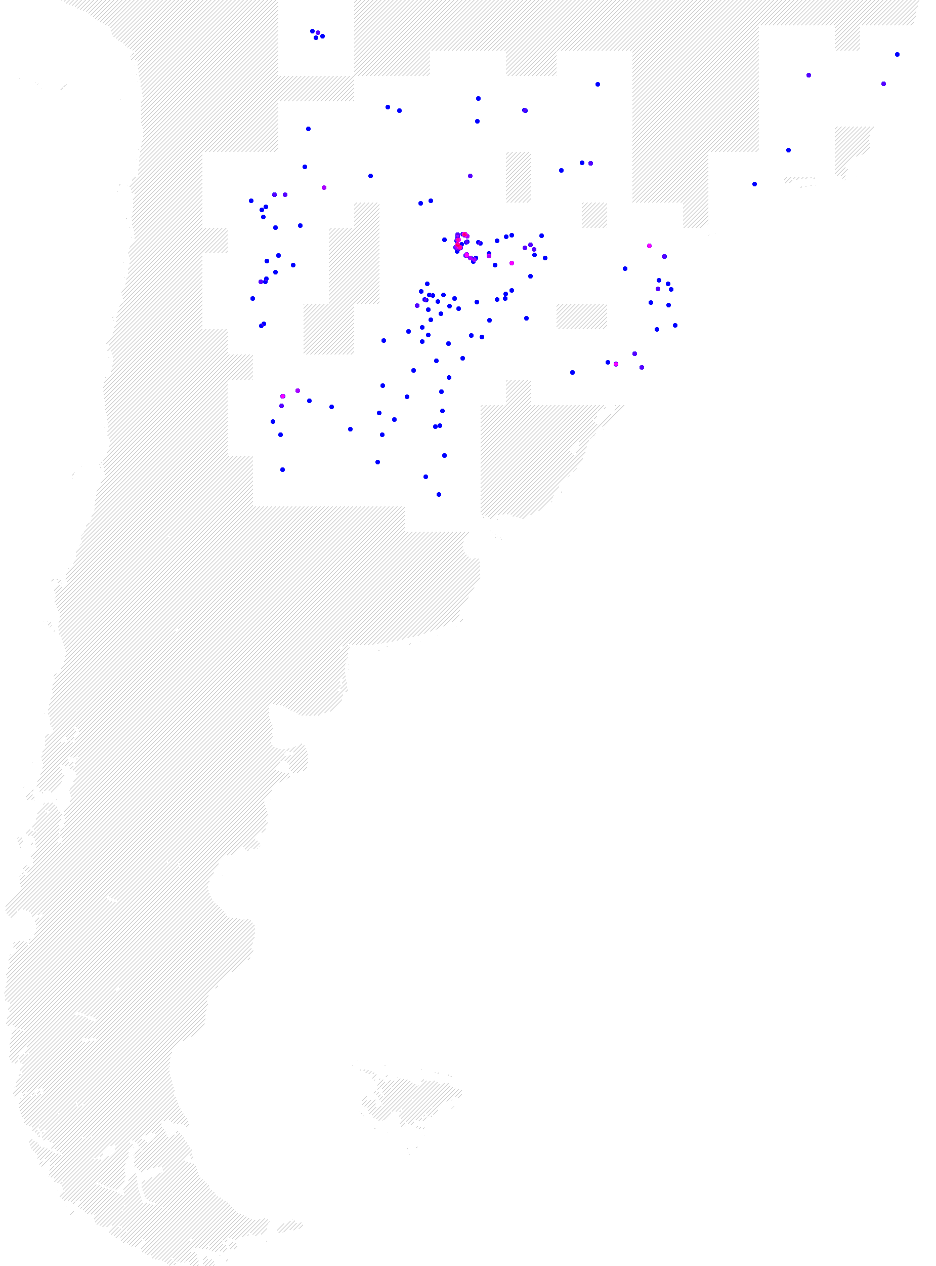
This map shows where the plant Cyperus entrerianus has been found. When a plant has been collected at a specific place there is a blue dot on the map. When many plants have been collected the color of the dot becomes red. Lightly crosshatched areas indicate regions with no observations. If you specify your location within this area this species will not be selected.
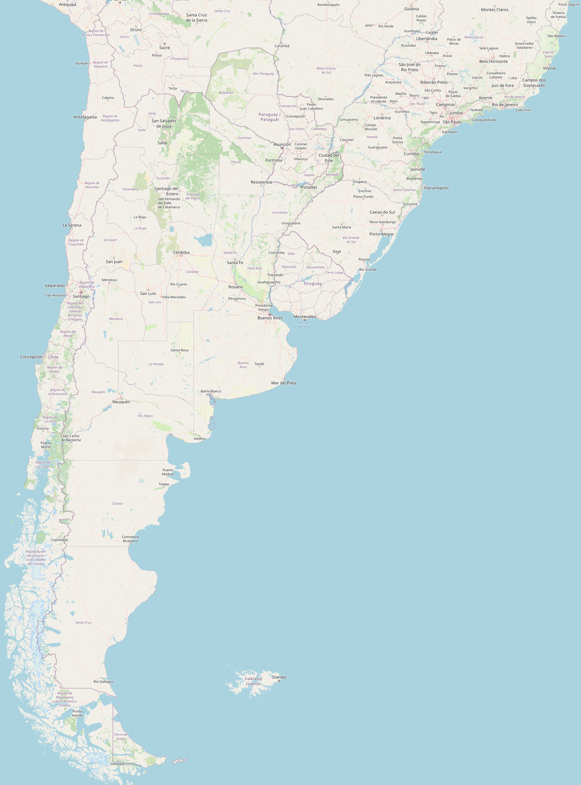
The map your browser is displaying is composed of three parts. Each part is licensed. The background map is an OpenStreetMap. It has the following attribution: Data by OpenStreetMap, under an ODbL license.
Displayed over the OpenStreetMap is a partially transparent overlay that shows where the species has been found. This overlay uses data from many sources listed at this Attribution and Copyright link. This overlay is licensed under a Creative Commons Attribution-NonCommercial-ShareAlike license.
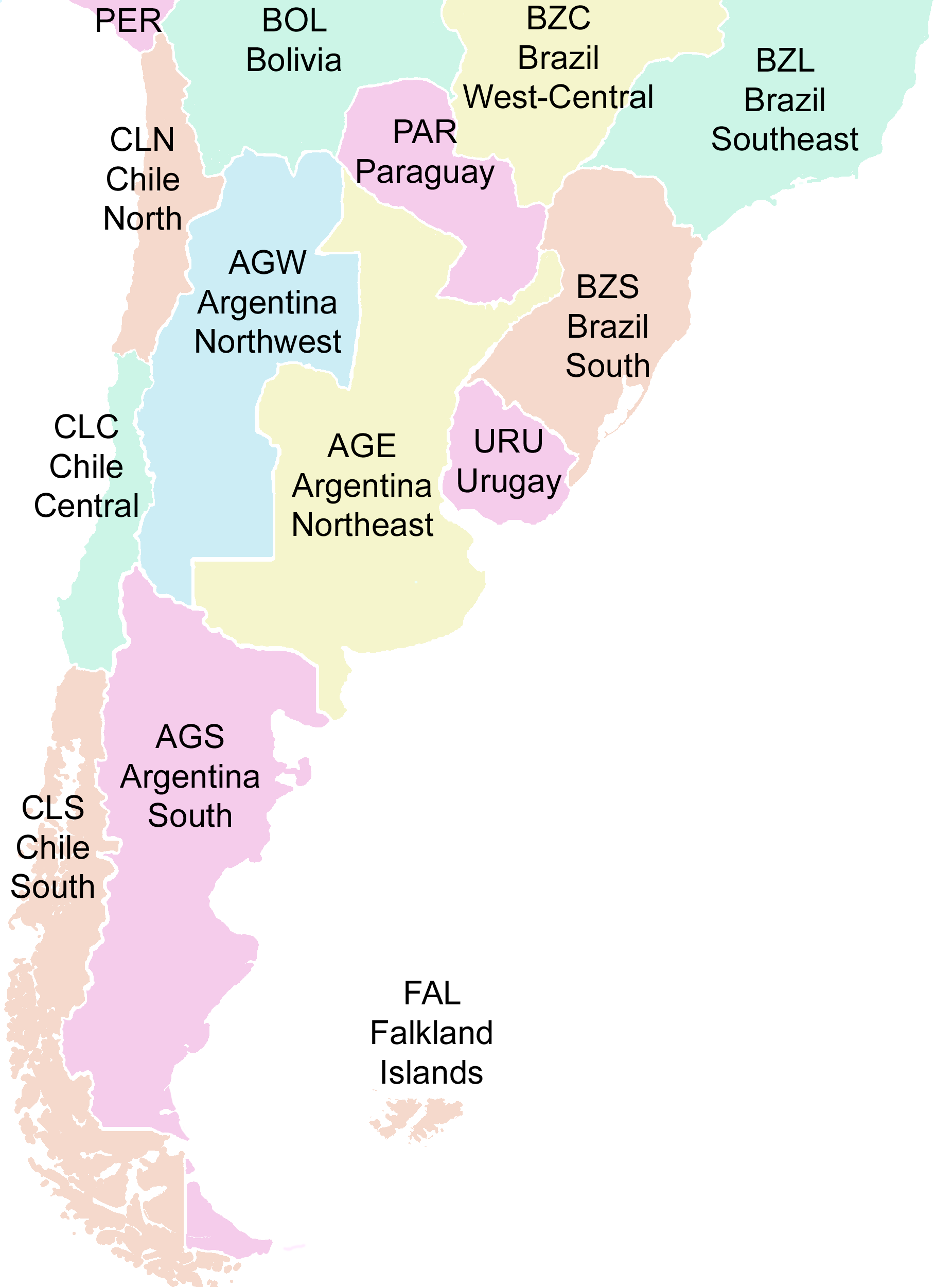
Optionally displayed over these layers is a colored layer showing the World Geographical Scheme for Recording Plant Distributions, level 3. You enable and disable this layer by clicking on the stacked-layers icon at the top of this page. The size of the map can be changed by clicking on the size icons at the top of this page.